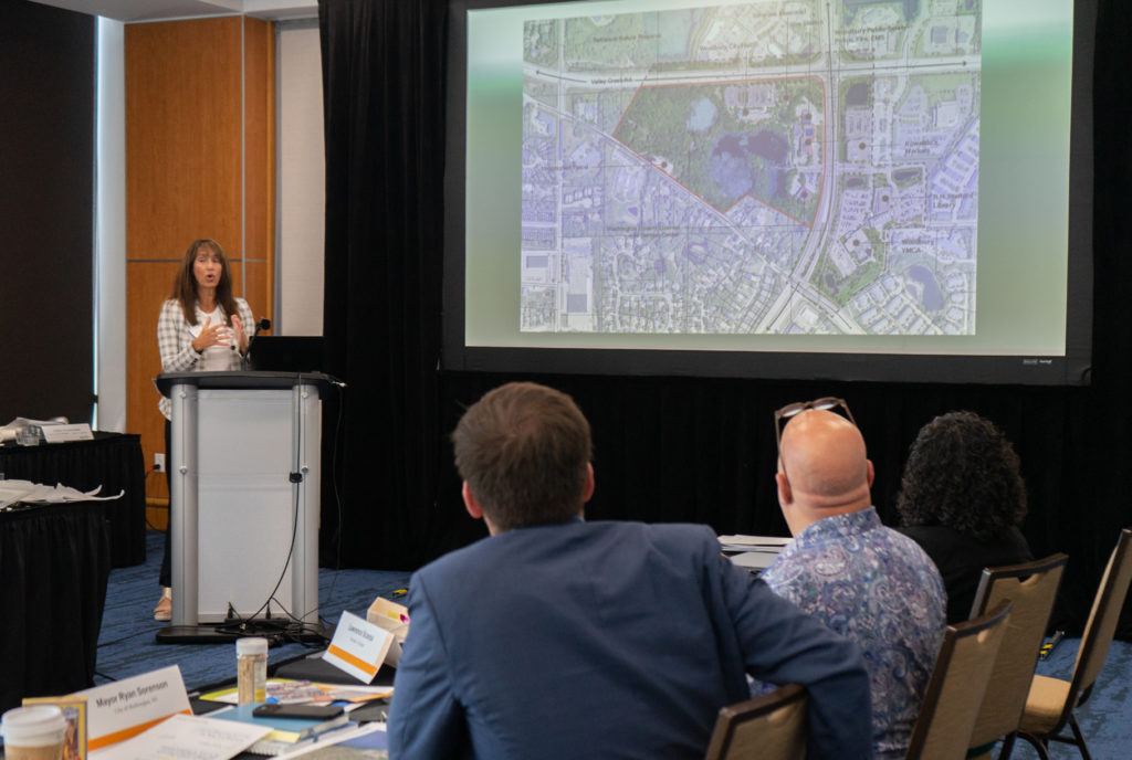
When you bring the Institute in and have their engagement and participation—eyes wide open—it’s a different perspective, it’s a different take.
Mayor Patricia Ticer (1991-1996) & William Euille (2003-2016)
1993 MICD 14 & 2008 MICD 41
Background
Alexandria is one of the oldest cities in the U.S., located on the west side of the Potomac River just south of Washington, DC. The Jefferson Davis Highway (Route 1) and the George Washington Memorial Parkway are main north-south transportation corridors on the east side of the city. The area between these two arterials—some 300 acres of land called the Potomac Yard and Potomac Greens—presented enormous development opportunities in a built out city where demolition of historic structures is tightly regulated.
Challenge
Residents of Alexandria were concerned that new development at the Potomac Yard and Potomac Greens would reduce the amount of open space in the northeast and obstruct the view of the riverfront marina. The developer contended that low-density projects would not generate adequate return on investments to offset high infrastructure and construction costs to develop the site.
Impact
Prompted by these issues, former Mayor Ticer presented the project at the Mayors’ Institute in 1993, seeking appropriate land use intensities and design guidelines that would mitigate the development impacts on the site. Mayor Ticer was specifically looking for strategies to regulate building mass and scale, set density and height limits, as well as creating a gateway to Old Town Alexandria located farther south of the site.
In 2008, Mayor Euille brought a case study to the Institute that focused on station-area planning around the Braddock Road Metro Station. Central to this small-area plan was the vision to improve transit connectivity and transform the site into a walkable, safe, and vibrant transit-oriented development neighborhood that would incorporate multiple housing options for mixed-income communities. Crediting MICD for guiding his vision, Mayor Euille said, “When you bring the Institute in and have their engagement and participation—eyes wide open—it’s a different perspective, it’s a different take. In some ways, it’s much more credible.”


